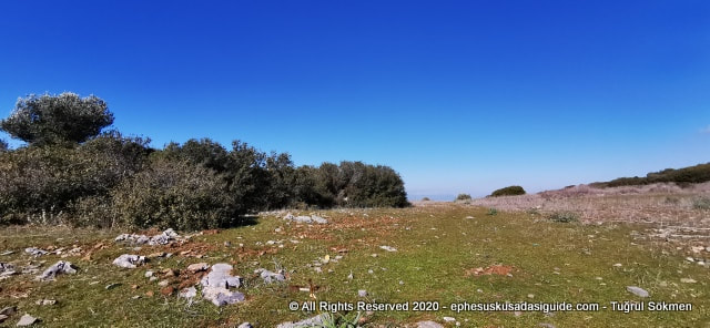
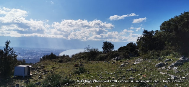
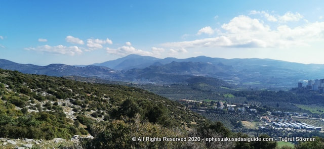
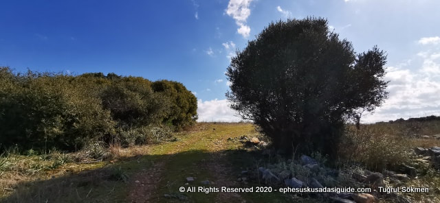
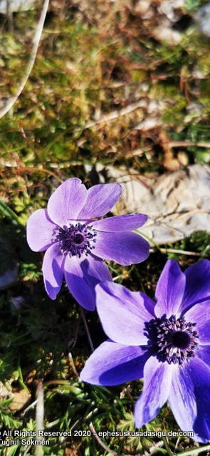
 When I arrived at the top it sort of leveled and a wide space appeared surrounded by short bushes, wild olive trees. 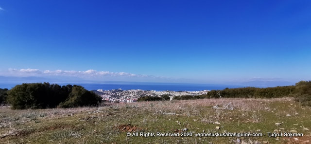 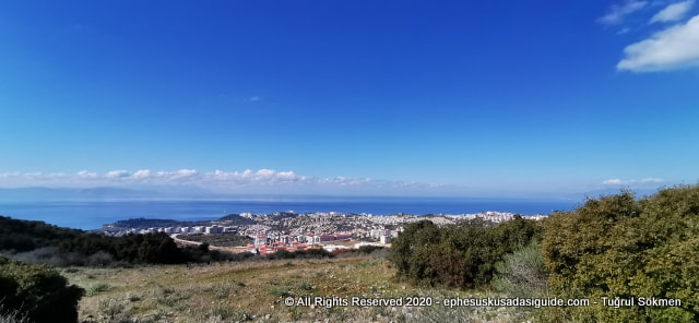 After I reached to the spacious small plateau, I turned my back towards the route I came from to see the view and there it was the town of Kusadasi spreading towards the Aegean Sea.  At the top point a Pond appeared so I reckon this area was used by dairy farmers for their animals to spread and get fed and watered. 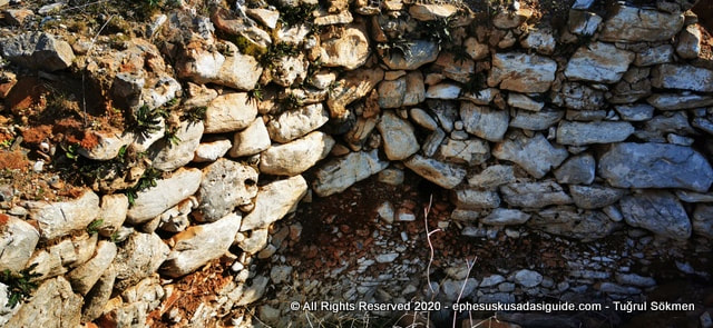 Then I realized a stone pit, a cistern if you may call it was right next to the pond. Seeing the stone laying technique it was at least 70-80 years old, maybe older. Small Pebbles down at the bottom all squezed 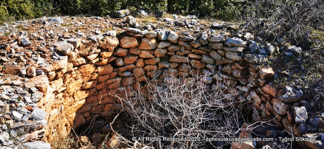 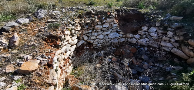 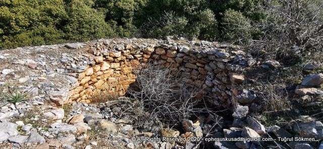 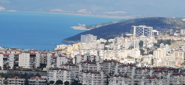 Then I started viewing Kusadasi town panoramically including the coast of Kusadasi and some of the inland parts from North to South. This first picture is from the North side of Kusadasi town. The black windowed structure on the right top is the Main State Hospital of Kusadasi. The building to it's let at the edge of the coast is Korumar Deluxe Hotel. Further in the back the long beach you are seeing is Pamucak Beach near the coast of Ephesus Ancient City. 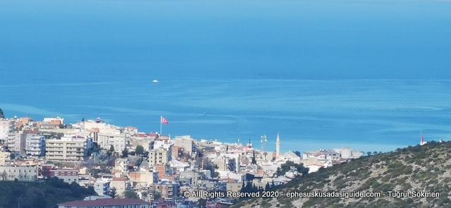 Then I turned a little to left to the est of the town to view the down center of Kusadasi. The main landmarks that you can see here is the Minaret of Kusadasi Kaleici Mosque and a little further to the left is the Turkish Flag 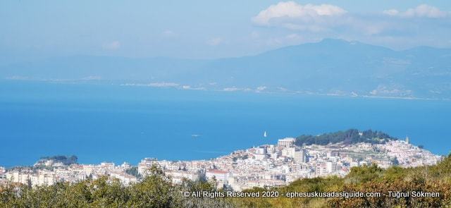 As you proceed with viewing to the Left and look at the western side of the town, you see the small portion of green left at the top of the hill İki Oluklu neighbourhood of Kusadasi. The slopes of that green hill is considered as the Old town of Kusadasi. And the left side of the picture there is a slight green area that is the Snake Island. 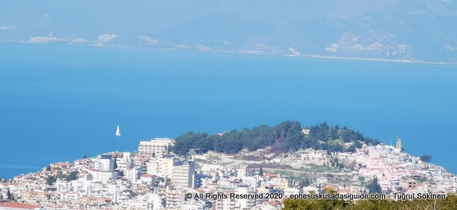 Here's a closer look to the only green hillside left in Kusadasi downtown. On the right edge is the Statue of Mustafa Kemal Ataturk the founder of Modern Turkish Rebuplic in 1923. 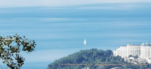 As I continue looking more to left and view the southwestern side of the town I started seeing the coast of Ladies Beach and several hotels in that District. 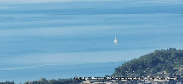 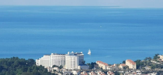 This is the view of Sea Pearl Hotel at the Coast of Ladies Beach in Kusadasi 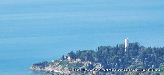 Here's one of the promontories in Kusadasi 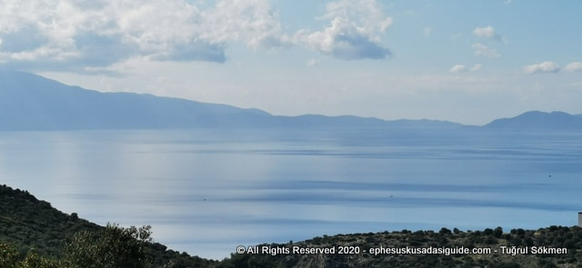 This is the view of the Dilek Peninsula National Park (the hill range on the left side of the picture) meeting with the Greek Island of Samos in distance, there is actually a 1.2 kms wide natural strait that separates the two countries. 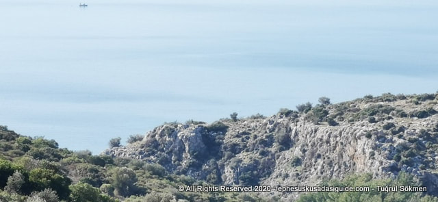 Phenomenal rocky cliff overlooking the coast of Aegean sea in Kusadasi. There is a small gorge in between two rocky hills. 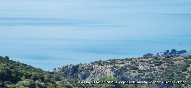 I walked on that rocky hill, the surface looks like a volcanic shape with strange hollowed rock formations very difficult to walk on. 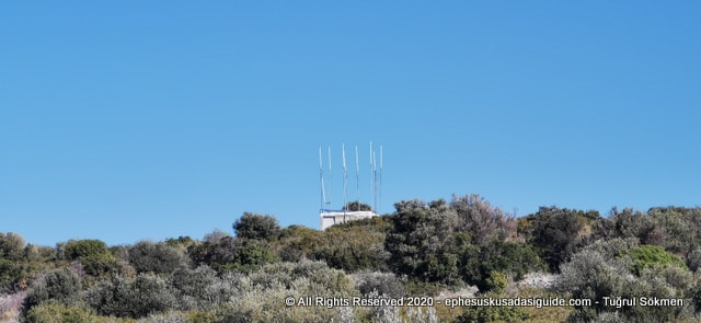 At the very top of this hill is a weather report center.
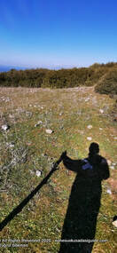
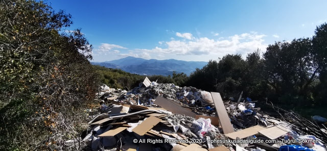
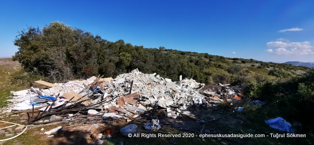
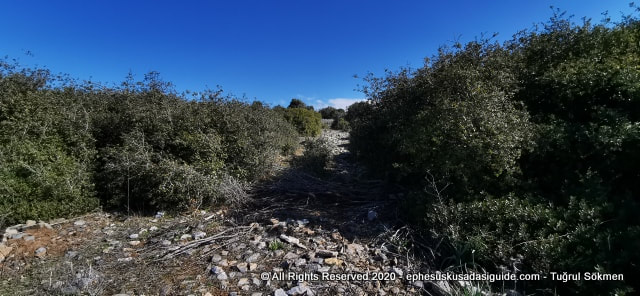 I decide to continue look more to the south but the path is slightly rocky and bushy in that section, I will hike through some rough terrain and try to view the southern side of Kusadasi coast from the top. 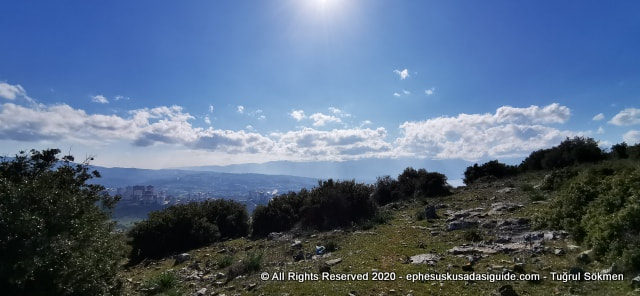 As I walked through the path it lead me to the edge of a cliff but the view was fascinating except some trash along the side of the hiking path.
 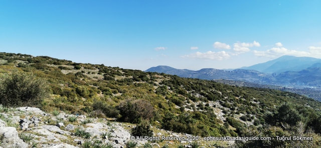  This is the Degirmendere District of Kusadasi where the plains open up to high mountain range that feeds Kusadasi with it's fresh water sources. You are viewing some of the farmlands in Degirmendere District. 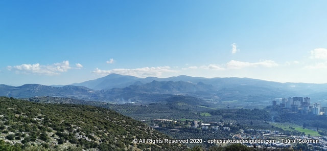 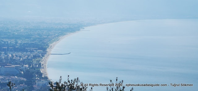 As I turn to the coast and I see the most beautiful and longest beach area of Kusadasi running nearly 30 kms. towards the Dilek Peninsula National Park. 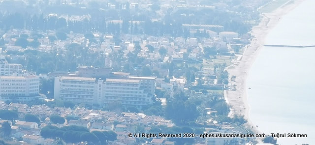 This coastal district of Kusadasi is located in the southern part of the town and utilized by several Hotel Investment facilities but also secondary homes of the locals and foreigners. 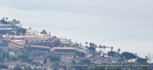 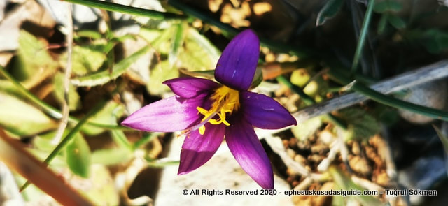 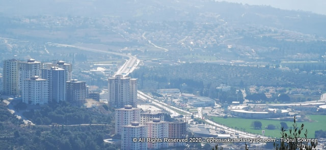 And as I look further I can't help but notice the terrible looking modern tall apartment buildings placed on a hill at the southeastern end of Kusadasi town. 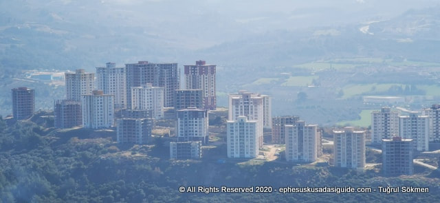 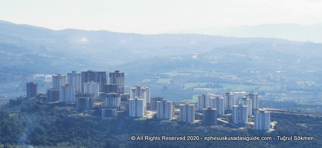 |
AuthorWrite something about yourself. No need to be fancy, just an overview. Archives
February 2021
Categories |
 RSS Feed
